


Understanding Hardiness Zone Maps
10 December, 2019
2 min read
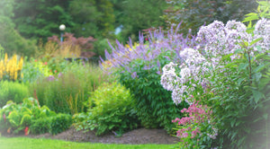
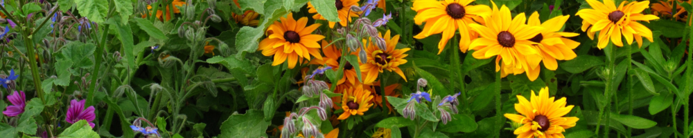
Gardeners need a way to compare their garden climates with the climate where a plant is known to grow well. That's why climate zone maps were created. Zone maps are tools that show where various permanent landscape plants can adapt. If you want a shrub, perennial, or tree to survive and grow year after year, the plant must tolerate year-round conditions in your area, such as the lowest and highest temperatures and the amount and distribution of rainfall.
However, life is not that simple. Within every climate zone there is some variation. Your garden has microclimates that are actually places warmer or cooler than the prevailing temperatures. Therefore, you can grow plants that actually aren’t supposed to live in your yard! Seemingly ordinary things like a south-facing brick wall or a large hedge or a lot of mulch can muddy the zonal waters.
The USDA Hardiness Zone Map is one of several maps developed to provide this critical climate information. The USDA map is the one most gardeners in the eastern United States rely on, and the one that most national garden magazines, catalogs, books, and many nurseries currently use. This map divides North America into 11 separate zones. Each zone is 10 degrees F warmer (or colder) in an average winter than the adjacent zone. n the mid-1900s, the U.S. Department of Agriculture (USDA) mapped out the entire United States, Mexico and Canada by lowest annual minimum temperature groupings. Each zone represented a 10 degree F. difference. This was invaluable advice for the agriculture industry. Now plants could be rated by hardiness zones, taking the guesswork out of choosing plant varieties. You had a gauge, other than experience, for picking plants.
The maps have been revised over the years, to reflect changes in climate. In 1990, the zones were further divided, with each numbered zone being broken down into an ‘a’, the lower temperature end of the zone, and a ‘b’, the higher. Unfortunately plant breeders have yet to start using these distinctions, so they are mostly useful if a gardener wants to push the envelope a bit. A gardener in zone 6b will be tempted to dabble in 7a plants. Given the variability of climate, it’s a hit and miss situation.
The American Horticulture Society (AHS) introduced a Plant Heat-Zone Map in 1997, intended to supplement the hardiness map. Heat related problems are much harder to quantify. High summer temperatures only told half the story. Plants don’t usually react to a day or two of heat they way they might respond to a frost. However, plants subjected to a two week heat wave could well succumb. Other variables that weren’t considered were things like humidity levels, nighttime temperatures and rainfall.
The AHS was awarded a grant to update the USDA Hardiness Zone Map. They studied 30 years of weather data and are in the process of updating the zone maps to include mitigating circumstances such as the length of cold spells in the winter, airflow patterns, the effect of large bodies of water like oceans and lakes and heat factors. The distinction of ‘a’ and ‘b’ sub-zones is gone. There will now be 15 zones instead of the current 11.